1st June 2016 – 15.4 miles
We packed up our campsite and drove the short distance to Alston, where we parked the car and bought a few supplies (lunch!). It was a bit drizzly, and we met another walker sheltering in the square who was waiting for his friends to do a similar walk to our planned route to Garrigill.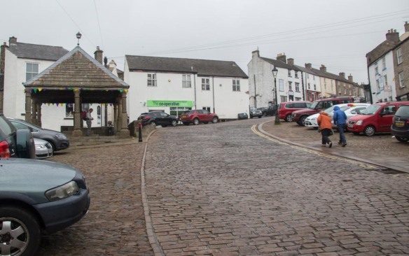
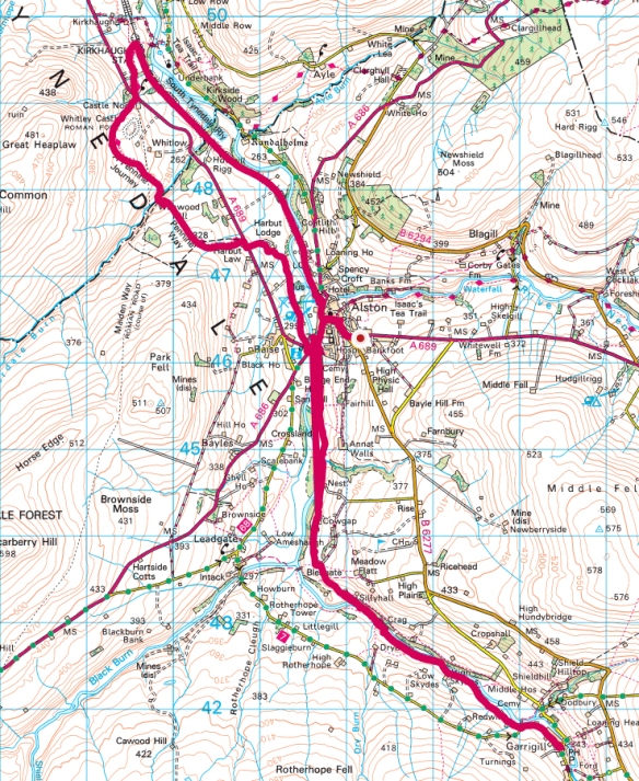
We left Alston along the river bank, skirting the back of the Youth Hostel, and trying to recognise it as the one we stopped in about 20 years ago (we think it could be a different building). The path went through fields, following the river, but some way uphill for much of the way. There were plenty of sheep with lambs in the fields and many dry stone walls to cross. We met a couple of families of walkers coming in the opposite direction, which is unusual enough to mention.
As we got closer to Garrigill, the valley got narrower andthe path ran closer to the river South Tyne. Where we crossed the footbridge, we met the man from Alston, who obviously had not met up with his friends, heading back towards Alston. He was doing a circular route and he told us something about a diversion on his route.
The last section seemed further than expected. The guidebook says something about it being dreary amd full of spoil heaps and scrap yards. That did seem a bit of an exaggeration. Yes, there were a few spoil heaps closer to Garrigill, but I probably wouldn’t have noticed them if the guidebook hadn’t mentioned them. And, yes, there was one scrapyard, but it was quite an interesting and rather eccentric place!
I was glad to reach Garrigill and have lunch. We returned by the same route – which, as usual, seemed much quicker. 
The afternoon had brightened up, so we continued north from Alston. We passed Harbut House, rather grand, with a peacock, then crossed the A689 and headed uphill to more open country. Route finding was not always obvious, but we did manage to get it right. Crossing a stream meant we had crossed into Northumberland – pretty much the last leg of the Pennine Way, but it is a pretty big county!
I noticed some unusually shaped mounds in the distance and was quite surprised when we got closer to see we had reached the Roman fort sooner than expected. I also hadn’t expected the fort to be earthworks – I think I’d expected some visible stone walls. 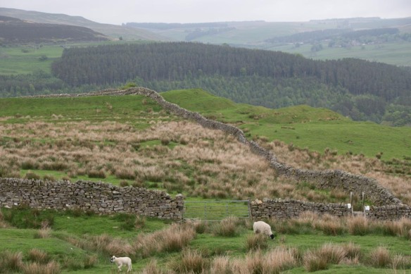
At this point the Pennine Way lead back downhill and across the main road. The South Tyne trail runs nearby, along the South Tynedale narrow guage railway.


We followed this all the way back to Alston. It was nice to have an easy, level route back after a pretty long day (a long three days in all!). 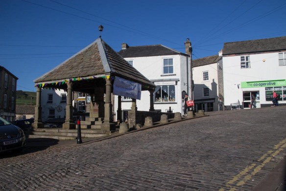 And the sun shone in the end!